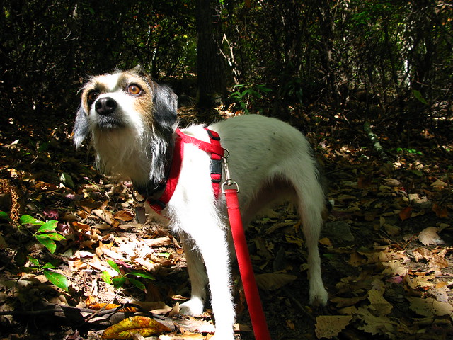
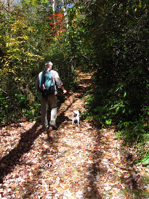
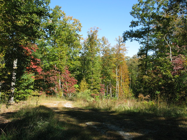
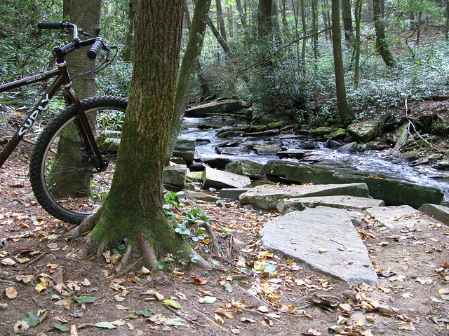
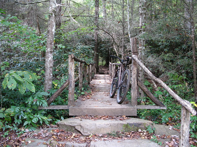
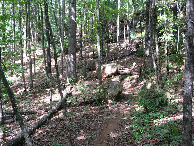
The forecast for today was perfect, so we decided to go for a nice hike. Heather had never been up to John Rock, above the fish hatchery, so that was the destination. I was a little worried that the trail would be packed, since it's a bit touristy, and I was even more worried when we pulled into the hatchery and the lot was pretty much full. It turned out OK, though. Yeah, we passed some people on the trail, and yeah, some of them were loud and annoying, but it was better than I thought it might be.
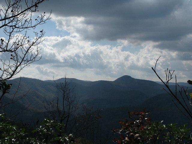
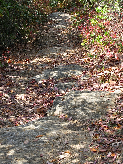
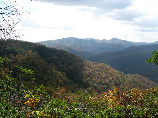
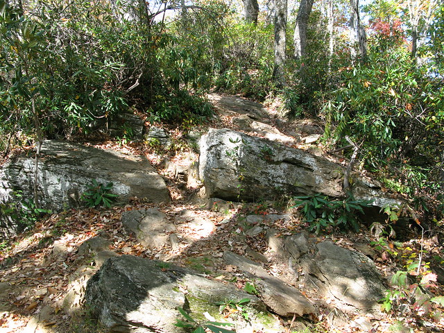
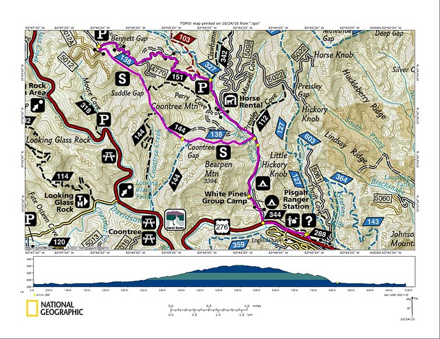
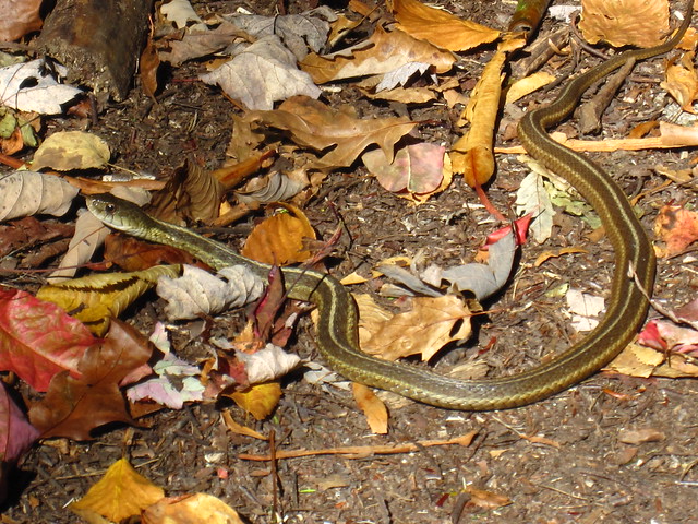
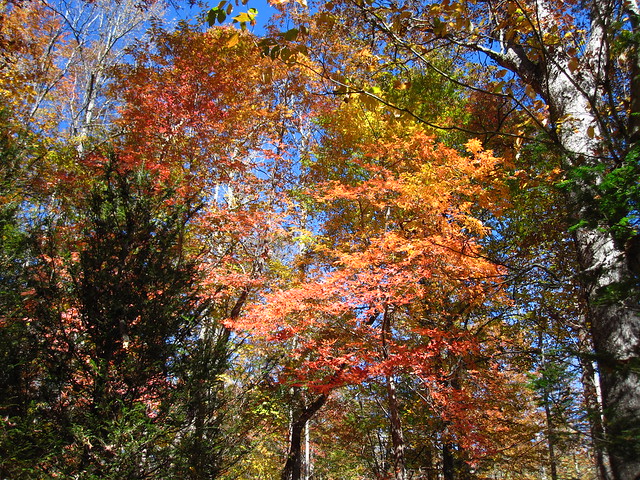
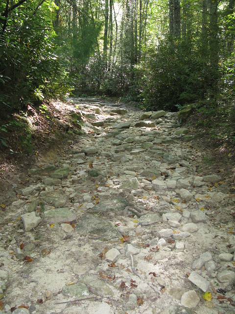
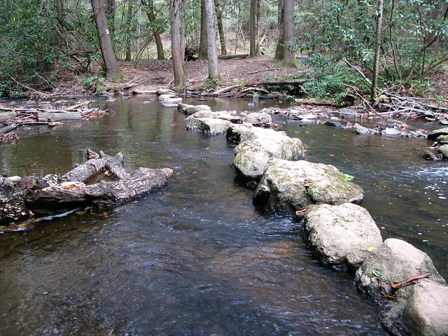
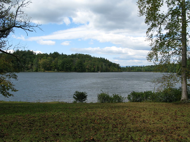
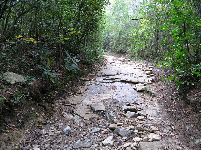
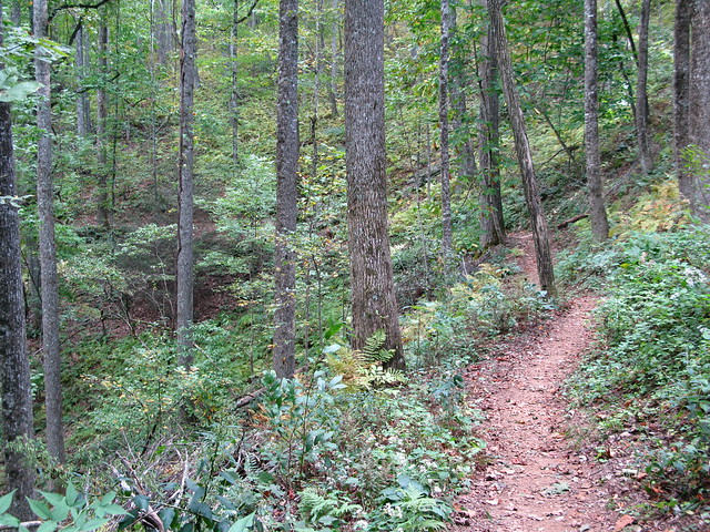
We decided to take Cat Gap Loop counterclockwise, with the John Rock detour. According to my mapping software, this loop is only ~4.5 miles, but it felt longer. It's pretty darn steep in spots, and very rooty. Despite all that, we hoofed it and made good time. We took plenty of breaks along the way to try and capture just how beautiful the forest is right now, with the leaves starting to change. Hopefully, some of my pics do it justice.
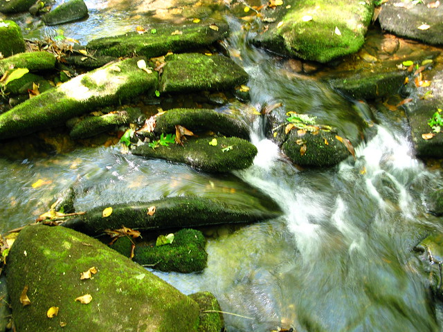 |
| Rushing Water |
 |
| Waterfall along Cat Gap Loop |
 |
| Natural Vignette around some Shrooms |
 |
| GORGEOUS!!! |
 |
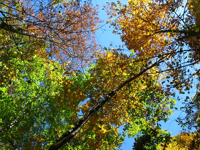
| The Leaves are Changing |
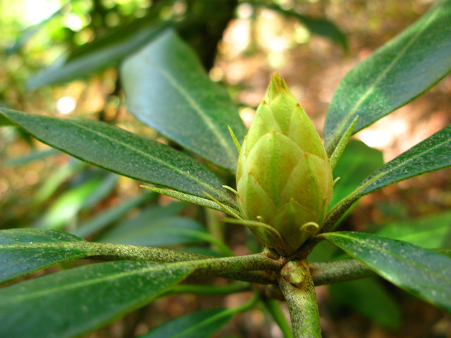 |
| Some Sort of Bud Along the Way |
 |
| Lots of Color |
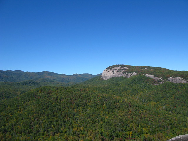 |
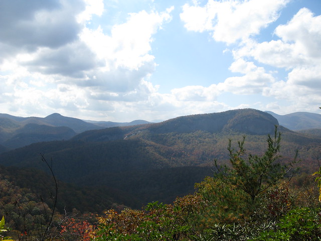
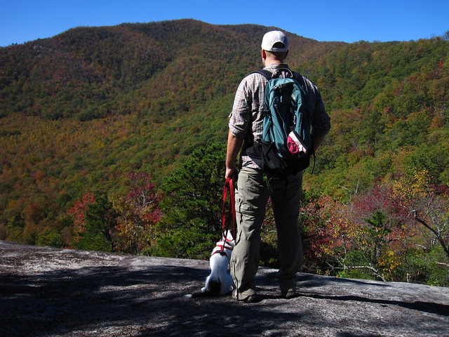
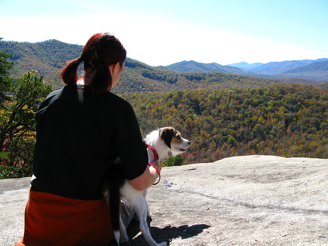
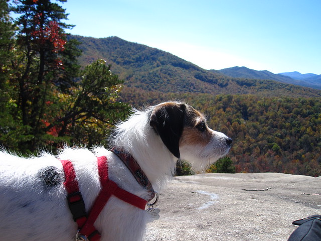
| Looking Glass from John Rock |
Afterwards, we stopped at
the Hub, then
Pescado's for burritos and tacos, and then Brevard College to watch a bit of the soccer game. Unfortunately, they're not so good, with only one win so far this season, and only one all of last season.
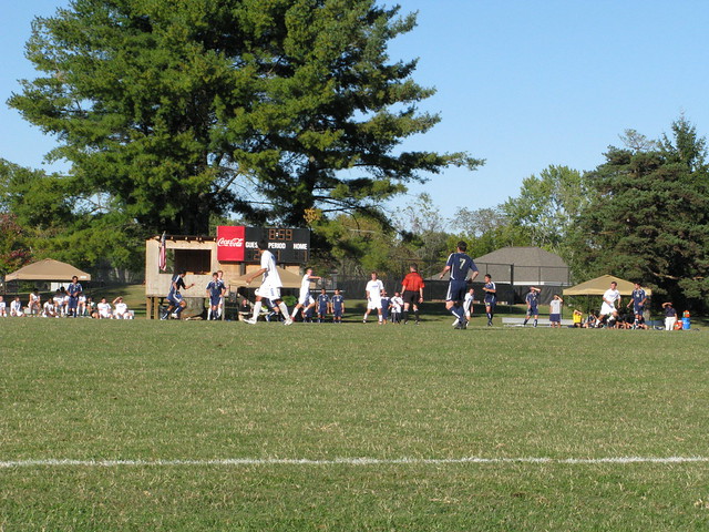 |
| College Football |
They were losing 4-1 when we left early in the second half.
You can see the full set of pics
HERE.
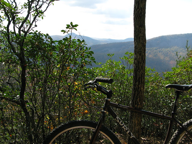
Tomorrow, I ride.