Lately, I've really been feeling stressed and anxious. I have a lot of uncertainty in my professional life right now, and it's just been building up inside of me. And due to a groin injury, resulting from me trying to set my foot down on a ride, only to have it hit wet leaves and slide down a rock face on a steep mountain slope, causing me to do the splits until something popped, I haven't been able to relieve the stress that has been building. Add on top of that the fact that it has been monsooning here for the past few days, and you have a bona fide funk in the works.
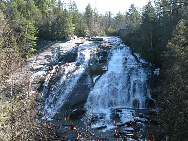
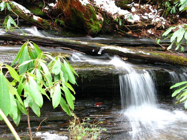
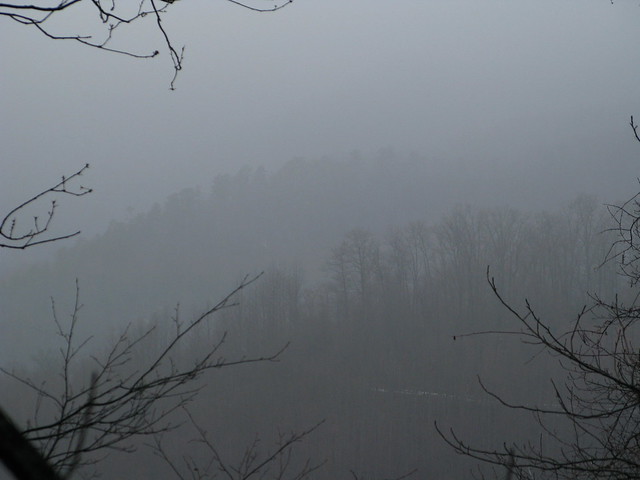
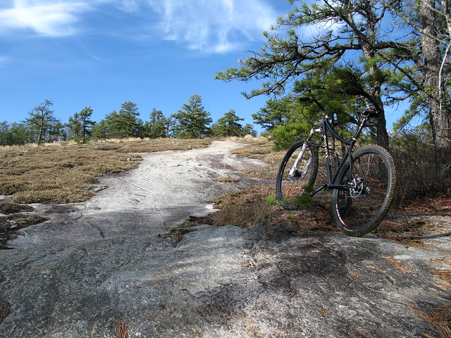
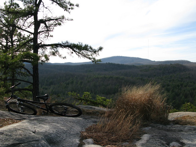
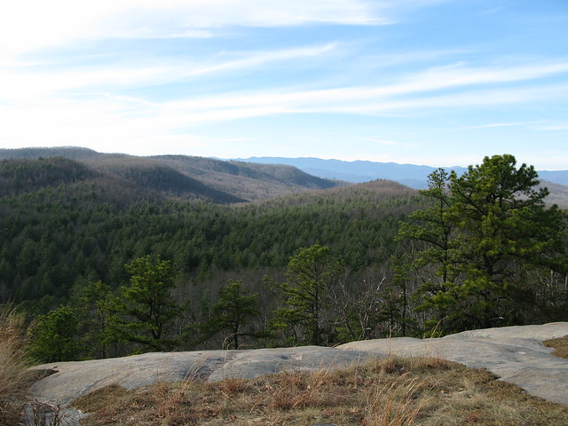
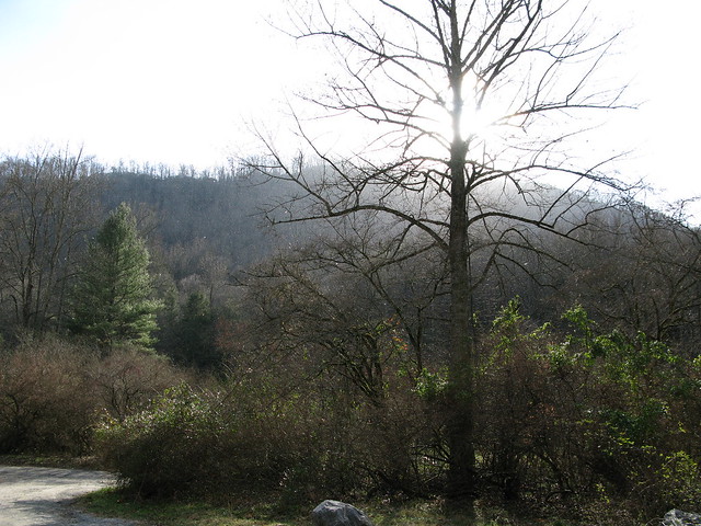
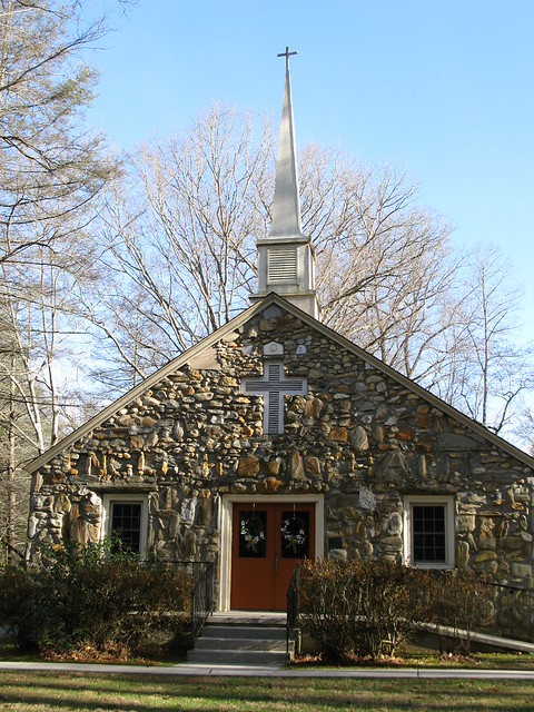
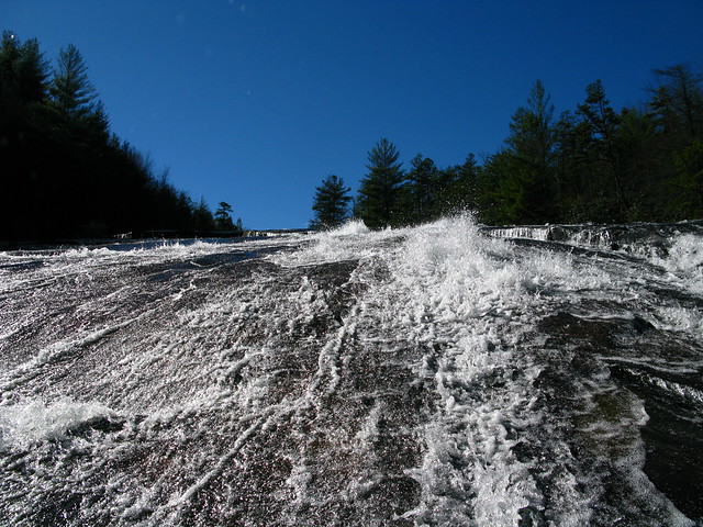
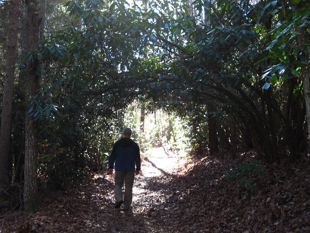
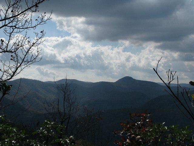
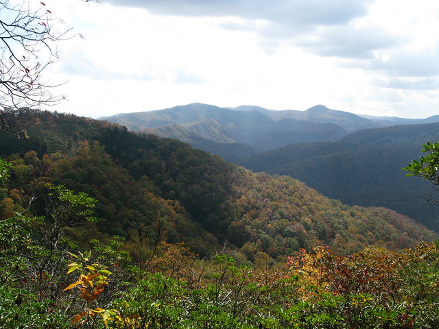
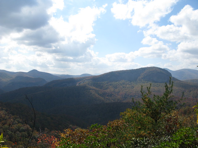
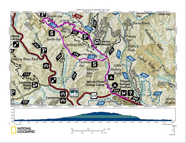
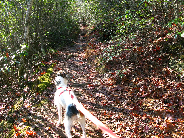
I decided today was the day to get out and try to do something about it. I had a couple of things to take care of this morning, but as soon as I was finished I came home, grabbed Kenda, and headed for the forest for a short afternoon hike. We parked the Grand at the Art Loeb trailhead by the campground, and headed out along the river. The water was high and flowing fast. The sound of the rapids had an immediate calming effect. We followed the crushed limestone path and then hung a right on the Art Loeb. This is a long and challenging, hiking-only, trail that has several different sections crossing the Pisgah Ranger District. The challenging part of this trail is that it is basically a ridgeline trail, so there is a lot of climbing over summits.
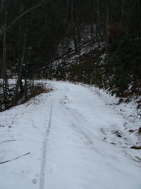
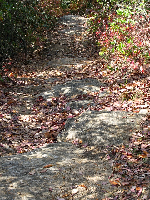
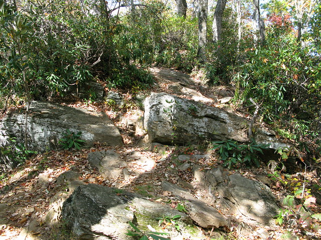
We went up and up and up, and the trail was nice. It was a little wet from all of the monsooning and whatnot, but never muddy. We heard some hunting dogs in the distance, but they seemed pretty far off. I was originally planning on just doing an out and back, but then we came across an old road (Joel Branch Rd.?). I didn't have my map, but my spidey sense told me it would take me close to where I wanted to be, and it was downhill, so off we went down the road. Well, my spidey sense is yet to fail me, and we ended up coming out at the back of the work camp, connecting back up to the bottom of the Art Loeb, and back to the car. We did see one hunter on a trail off the side of the road, but he didn't see us. I was a little nervous about it being rifle season, but I just kept talking loudly to Kenda and it was a non-issue.
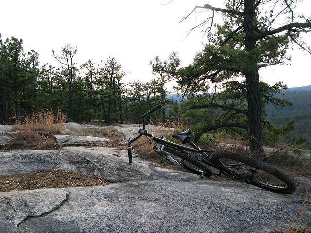
It was a nice, and much-needed hike, and ended up being just over 4 miles. No matter how stressful my career path (or lack thereof) is right now, I know we made the right decision moving here. Where else can I drive 10 minutes and be able to go on a short hike on a trail like the Art Loeb, in a place like Pisgah? Just amazing. Now I just need to find some boots that won't give me blisters. Today was pretty much the last chance for these Asolos.
Pics:
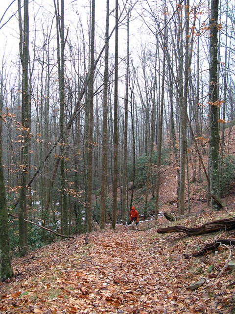
 |
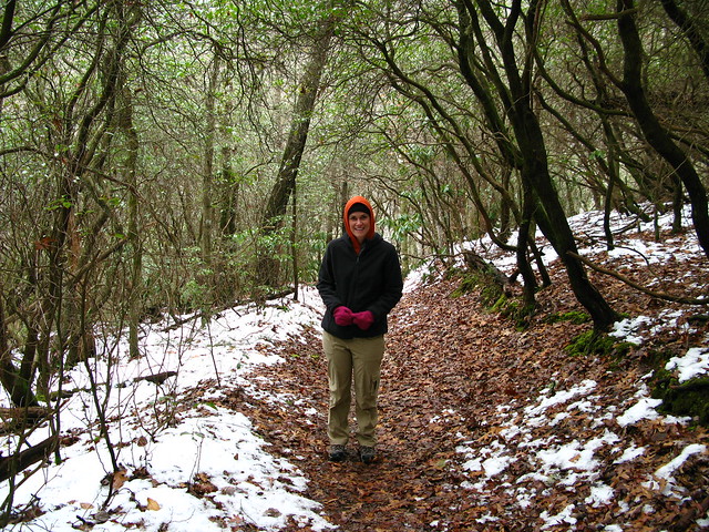
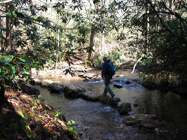
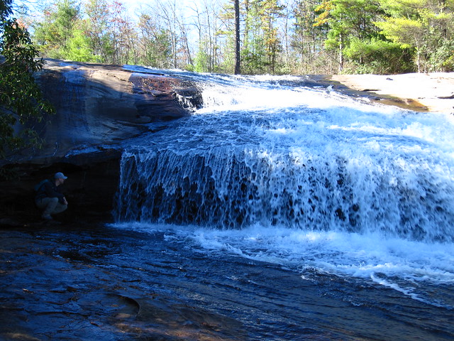
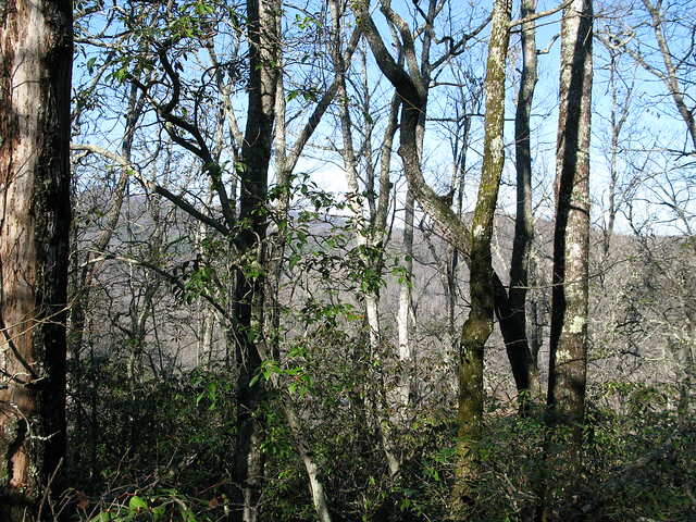
| On the Art Loeb |
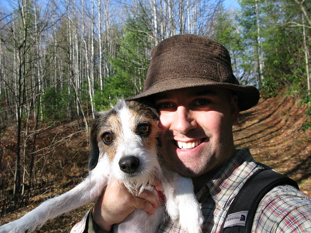 |
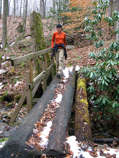
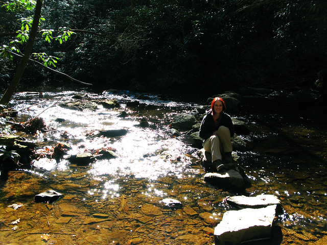
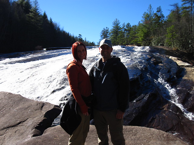
| I was feeling a bit Irish today, hence the hat. |
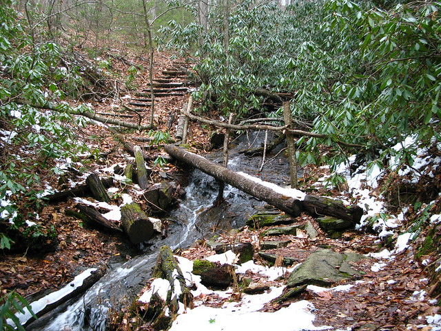
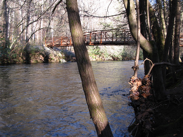 |
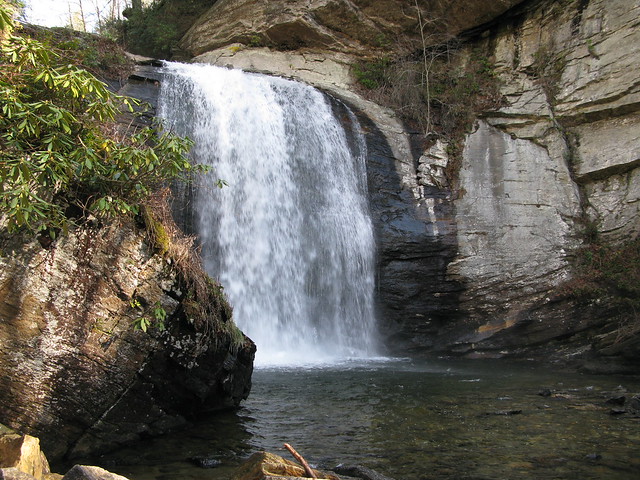
| Foot bridge over the rushing river. |