Wednesday, December 21, 2011

The Humans are Dead...

...I poked one...it was dead.


Last Saturday I helped a buddy move in Greenville, SC, so I didn't get to ride until Sunday. I did, however, stop at SunRift in Traveler's Rest to spend some cash that was burning a hole in my pocket. I needed some new bike shoes, and was debating between Lakes (which I've had before and liked), and Pearls. They had both, so I asked which ones they thought would be better for walking my bike around Pisgah, and ended up getting an AMAZING deal to take a pair of silver Lakes off their hands.

IMG_1427

I tested my robot shoes out on Sunday by riding a very short but fun route that required zero hike-a-biking. I rode Grassy>Thrift>Black>Grassy>Upper Sycamore>276.

That's all I got for ya. Have a Merry Christmas.

Thursday, December 15, 2011

Elusive Cedar Rock

This post is a little late, so I won't be too wordy with it. I was able to get into the Forest both days last weekend. On Saturday, I rode from the Ranger Station, and did 276>477>Clawhammer>Black>Buckwheat>Bennett>477>276. It was a really nice ride, and I felt like I had the Forest to myself.

Buckhorn Shelter

Black Mountain Trail

Club Gap

View from Bennett Gap Trail

View from Bennet Gap Trail

On Sunday, Heather and I decided to see if we could figure out how to get up to Cedar Rock from Butter Gap. We started out on what I'm pretty sure is the correct trail, and took it to the left when it got steep. This is where we ended up:

IMG_1414

IMG_1415

There was no really obvious way up the rock face, and it was kinda wet, and I really didn't feel like killing myself, so we went back down a bit, and took a less obvious right route when it got steep. This time, we ended up here:

IMG_1416

IMG_1419

Again, no obvious way up, so we hung out and had a snack, before descending back down to the gap. We then decided to take another unmarked trail from there, and ended up at the base of Cedar Rock, where there are some climbing routes. This was a fun place to just play around.

IMG_1424

IMG_1425

IMG_1426

So we never did make it to the top of Cedar Rock. From what I've read, you basically have to scramble up the rock face to get there from this side, and there are supposedly some "steps" carved into the rock, but I didn't see them. I think we'll just start at the hatchery next time and come up the other side.

Sunday, December 4, 2011

Cove Creek Kind of Weekend

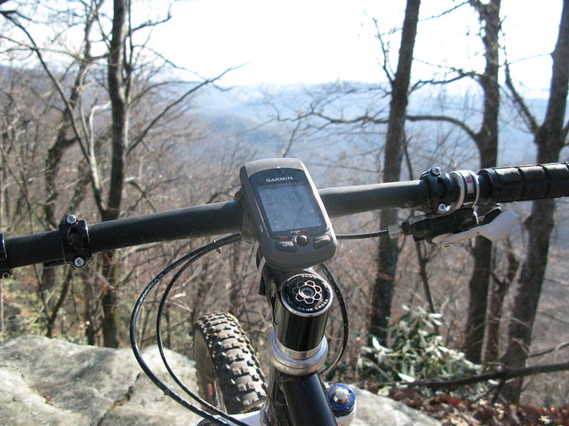
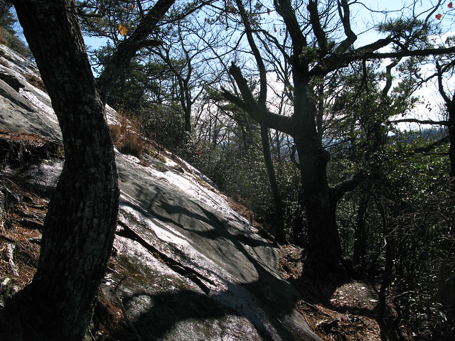
It was a great weekend to get out and play in the woods. On Saturday, I went out for a short loop in Pisgah. I headed up Cove Creek to 225, and then down to Daniel where I went left, and took the less technical, and supposedly more flowy way. It was a fun ride, albeit kinda short, but I had some beers to drink afterwards. I got my first ever tire puncture since switching to tubeless with Stan's, and I was impressed with how well it worked. It took a few minutes to seal it, and I had to put some air in, but it held really well the rest of the ride and is still holding strong.

IMG_1383

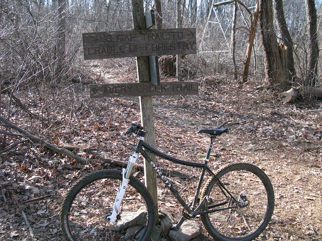
Once I finished Daniel, I hung a left to see how well Tom Spring Falls was flowing, and then continued past to see if I could find the connector trail back over to Cove Creek Campground.

IMG_1384

I actually found two trails where I figured the one would be. I took the one that made the most sense to me, and in a couple of minutes, I was where I figured I would be. Anyone know where the other one goes? One of my favorite things about Pisgah is how at ease I feel, and have always felt, in just exploring. I have a good general sense of direction in the woods, and over all the years I've been visiting Pisgah, I've never felt lost, even when I didn't know exactly where I was.

After I popped out into the group camp area where Single Dare was held, I went up the road a bit to see the rest of the camping area. At the back corner of the first camping "field," I found a spot I'll be re-visiting next summer.

IMG_1385

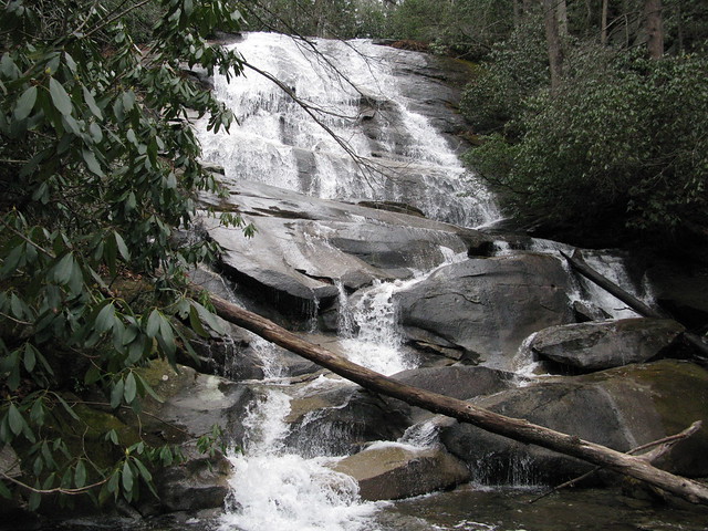
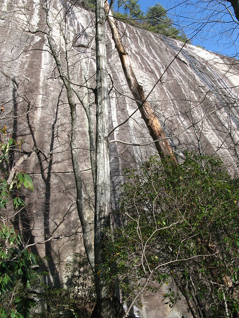
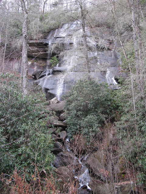
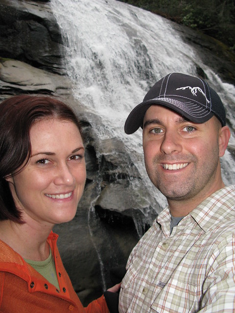
Today, we wanted to hike somewhere nice to get one more photo for our Christmas card, but we didn't have a lot of time. I thought Cove Creek Falls would be good, so back to 475 we went. I've ridden past the trail that leads to the falls many times, but had never actually gone down to them. It was a really pleasant surprise when we saw them, as they were much bigger than I expected.

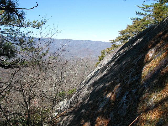
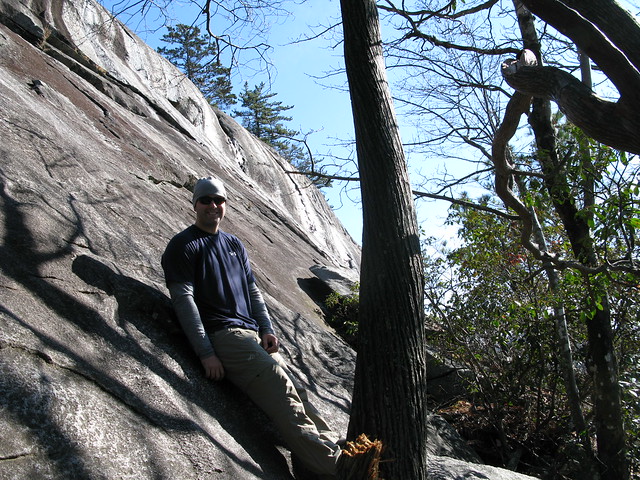
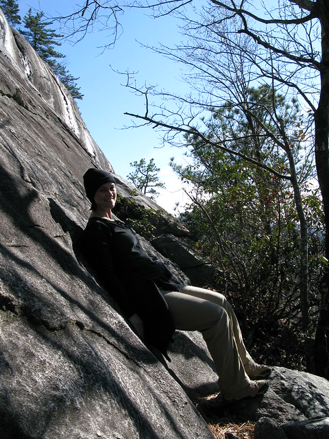
We stopped about half-way down, and walked out on a ledge to get a few photos.

IMG_1389

IMG_1392

IMG_1393

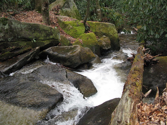
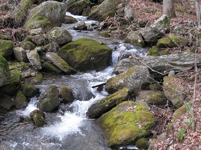
We played around for a while longer, and I took some more photos of the creek and its surroundings, before we headed back to the campground via Caney Bottom Trail.

IMG_1394

IMG_1397

IMG_1400