Monday, September 27, 2010

Rain

It has been pouring here for the last couple of days, but even the rain is better in the mountains.  That means that it's a good day to get some cover letters and resumes out, and do a little remote clerkin' for the Bulldog.  No matter what I'm doing, though, I'm generally daydreaming about riding.  I can't wait to get back out and explore some more of my local trails.  Hopefully that'll be sometime later this week.  In the meantime, though, I'm taking care of some priorities, and planning my new bike build.  My new frame should be here in a couple of weeks, and I still have some parts to collect.  I have the major stuff already (see pic), but I still need a headset, bottom bracket, stem, and handlebars.  Not sure which bars I want.  I would really like to try the Ragley Carnegies, but they're not available in the states, and I don't want to wait for international shipping.  Any other ideas?  I like my Mary's, but I don't want a riser.  Maybe Salsa's with a 17-degree bend? 

Random bits:

Waiting

Tuesday, September 21, 2010

Pisgah Ride - 9.21.10

So I got a route recommendation from brado for a nice loop to hit Laurel Mtn.  I took FS 1206 and parked at Pilot Cove, as recommended.  From there I took 1206 up to Laurel Mountain Trail to Laurel Mountain Connector to Pilot Rock Trail to 1206 then back to the Heep.  Apparently brado thought I was in better shape than I was.  It was only ~12 miles, but that's about equivalent to a 40 mile ride in Cincy.  This loop gave me a swift kick in the ass, but it was a blast.  It started off with FS road climbing, then rocky singletrack climbing and hike-a-bike sections.  Once you got past this, there was some really nice, flowy contoured ridge riding.  Really nice trails.  Then, of course, there would be a huge field of rocks to navigate (walk) through/over/under.  There was one demoralizing hike-a-bike section just before hitting the connector trail, and then there was Pilot Rock Trail.  Insane downhill.  Steep, rocky, loose, switchbacky (I just made that up) terrain that went on and on.  It was a ton of fun even though I wimped out on a few spots.  This downhill really beat me up on my rigid, but I definitely noticed today how much better the big wheels roll over rocks.  Anyway, fun loop that I will hit again, fo sho.  True Pisgah and the reason I moved here.

On a small side note, every route suggestion I've received here has ended with "And if you have anything left after that..."  I love that.  There is just so much good riding here, that you can add on more loops if you feel up to it.  Of course, I haven't had anything left after that yet.  In time.

Pics:

IMG_0836

IMG_0837

IMG_0841

IMG_0842

IMG_0843

IMG_0846

IMG_0851

IMG_0853

IMG_0855

LaurelMtn to Pilot

Sunday, September 19, 2010

Gorges State Park - 9.18.10

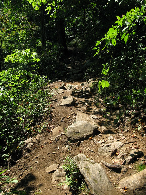
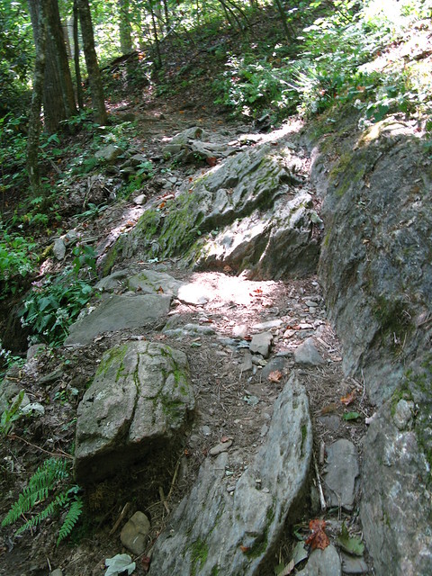
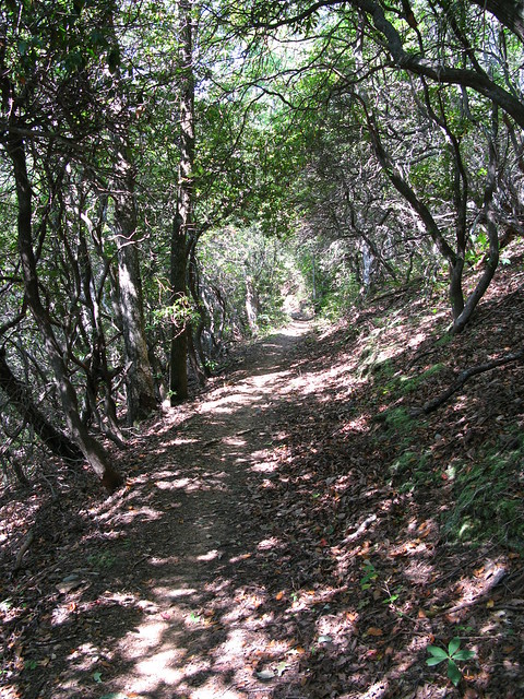
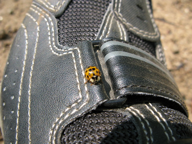
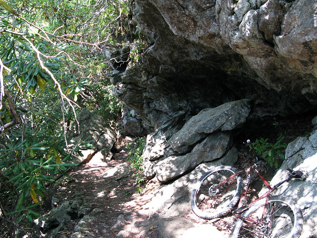
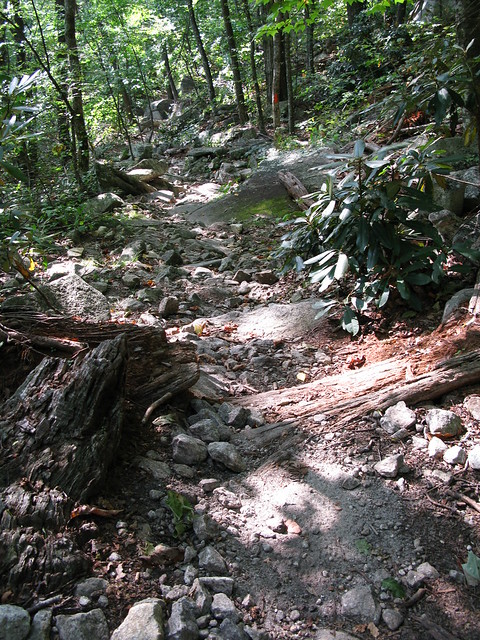
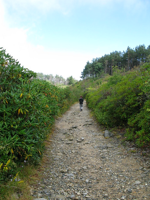
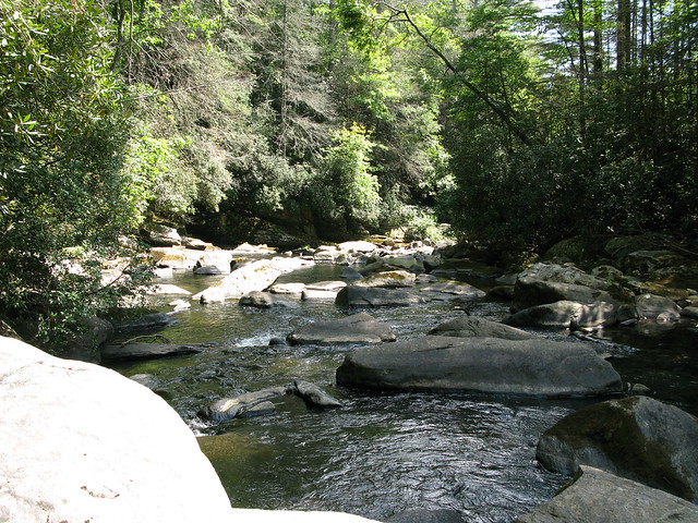
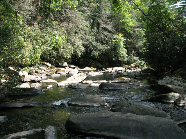
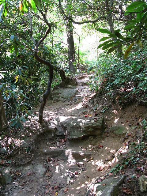
Yesterday, we headed down to Gorges State Park, close to the SC border, for a 6-7 mile hike.  We decided to take the Rainbow Falls trail and parked in the appropriate, and insanely packed, parking lot.  We then headed down what started off as the most boring trail ever built.  The first mile or so is a wide, gravel-packed trail that just goes down and down.  Once you leave the park boundary, though, it gets better.  The gravel ends, you start hearing and seeing water, and the trail then actually gets pretty rocky, rooty, and steep.

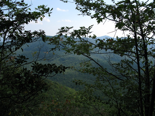
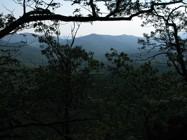
We were starting to feel better about this trail until we noticed that there were a bunch of college kids from Clemson all over the place, wearing bathing suits and flip flops.  Along the way, there were some nice river views, and once we got to the falls, they were beautiful.  I will never go back to this park, though.  The college kids sucked.  Apparently this is a Clemson hangout.  The little bastards were everywhere, and they were loud and obnoxious.  During our hike back, they were yelling all along the trail, and one of them was blowing a bubuzela.  Really?!?!?  I can't blame it all on the Clemson kids, though, there were also some total rednecks yelling.  We surmised that they had a compound of trailers, with no phones, so that's how they were used to communicating.

Anyway, I don't recommend going to Gorges S.P., unless you're an obnoxious college kid, which I'm not....anymore.

Some pics:

IMG_0821

IMG_0822

IMG_0824

IMG_0827
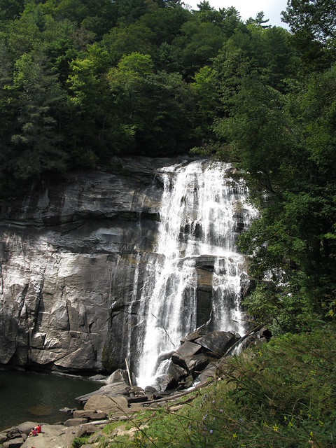
It was a surprisingly large waterfall


IMG_0830
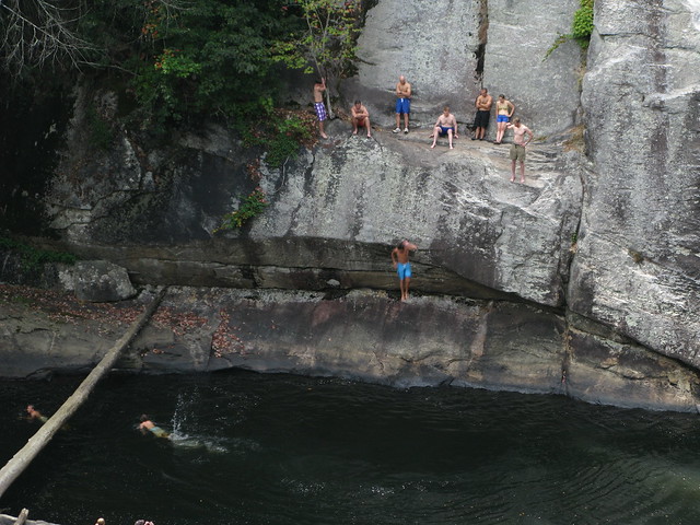
The guy on the right in the khaki shorts stood there for about 20 minutes, contemplating, taking off his shoes, then socks, then putting his socks in his pockets, then adjusting how his socks were in his pockets, then sitting down, then standing back up, never jumping.  The kids were making fun of him and just went right past him, jumping in.

Pisgah Hike - 9.12.10

This probably should have been my first post, but a week ago we went for a nice high-country hike in the Shining Rock Wilderness of Pisgah N.F.  We started out on Ivestor Gap Rd/Tr and took that almost all the way to Shining Rock, meeting up with Old Butt Knob Tr close to the Rock.  We hung out on Shining Rock for a bit and listened to a cool local named Duane tell us stories, and talk shit to me.  I hope we run into him again, he was a good guy.  We decided to take the Art Loeb trail back for a bit, and then meet back up with Ivestor.  Art Loeb is a narrow trail that pretty much goes right over the top of the mountains, instead of staying level like Ivestor, which is an old road or railroad grade.  Anyway, Art Loeb was a tad more strenuous, and I think we ended up losing the trail and following a game trail, or blueberry picking trail.  No big deal, though, we found our way back eventually.  We saw plenty of bear scat along the way, but luckily no bears.  Apparently our "Whoa Bear!" calls were effective.  All in all, it was around 8-8.5 miles.

Some pics:

IMG_0768
Ivestor Gap


IMG_0781
Morning Dew


IMG_0786
Part of Shining Rock


4984766776_182be7a8dc_o
Duane Talking Shit to Me on Shining Rock


STG_0801
High Country Views


IMG_0804
More


You can check out the full set of pics HERE.

Friday, September 17, 2010

DuPont Ride 9.17.10

I got plenty of work done today, so I decided to head out to one of my local parks for a quick ride.  I've been trying to get out as much as possible.  This summer has been tough for riding for me between finishing up school, studying for and taking the bar exam, and moving down here.  I'm way out of shape, and am finding the singlespeed quite difficult in the mountains.  I have a new frame coming soon, and I think I'll stick with singlespeed, but ease up the gearing ratio a bit until I get my legs.  Anyway, here was my route:

Corn Mill Shoals > Burnt Mtn > Corn Mill Shoals > Little River > Cedar Rock (east) > Big Rock > Longside > Pine Tree > Cascade Lake Rd. > Rock Quarry Rd. > Micajah > Wilkie > Cascade Lake Rd.

Here are some pics:

Ready to Roll

Burnt Mtn Downhill

Climbing Cedar Rock

Top of Cedar Rock

Top of Big Rock

Thursday, September 16, 2010

Introductions

My name is Rick, and this is my blog.

I don't really like the word "blog."  I'm not a blogger.  I won't be providing any insightful analysis on hot political issues, or updating you on the latest Hollywood gossip.  This won't be strictly another ride log, either.  It will simply be a place to post some pictures and accounts of our outdoor and life adventures here in Brevard.

We just moved here about two weeks ago, from the Cincinnati area.  I'm originally from Cincy, but I've also lived in Nashville, TN and Clearwater, FL.  I moved back to Cincy about four years ago to attend law school.  Since I just graduated, now seemed like the perfect time to go ahead and move to the place I've always visited and never wanted to leave.  I think we have finally found an area where we could spend the rest of our lives.

Now we just need to find jobs...minor detail.  But at least we're finally happy in our environment.