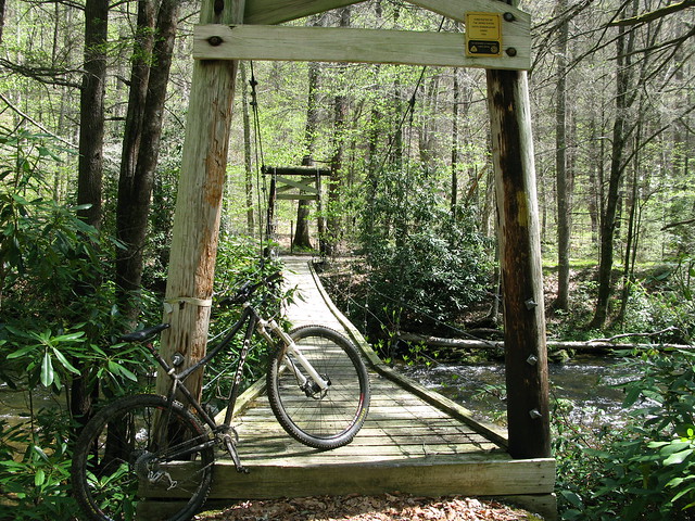
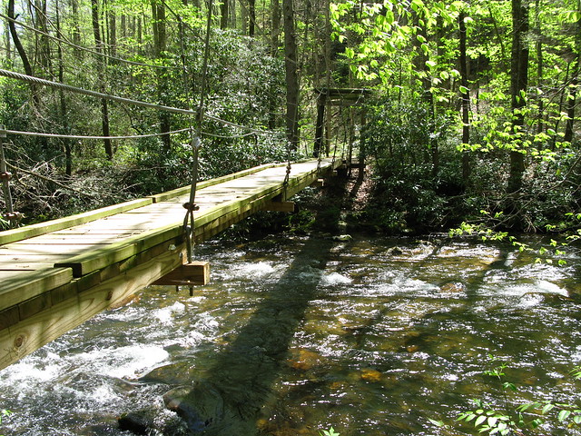
I made it down the switchbacks to the suspension bridge just before the intersection with Squirrel Gap.

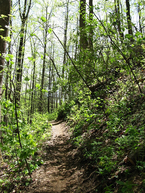
The first part of Squirrel is tight, twisty, and low, and actually reminded me a bit of trails in Ohio. Once you hit the intersection with Horse Cove (I think), the trail turns into pristine, benchcut singletrack that flows nicely along the contour of the mountain.

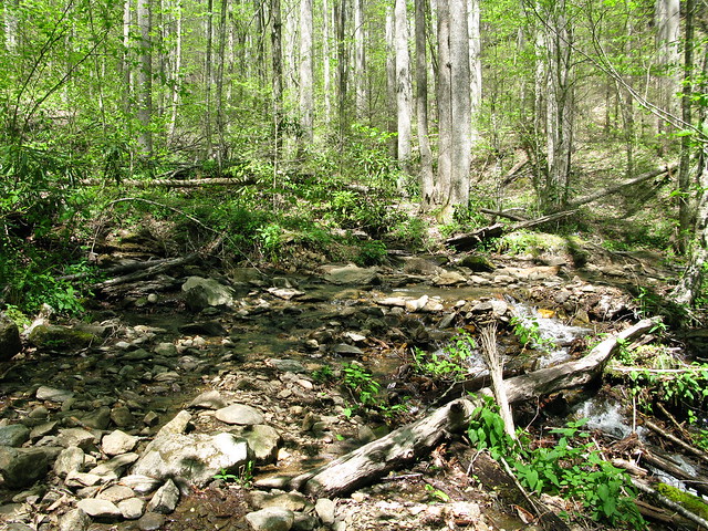
I made it to the intersection with Cantrell Creek Trail, but not before having to cross Cantrell Creek itself.

At this point, I had a loop in mind, and headed down Cantrell Creek Trail. I liked the tight, techy feel of this trail with all of the rocks and creek crossings, but I didn't like how overgrown it was. My legs were quickly sliced up. Also, this trail has 10-15 creek crossings on it, and the water was flowing, so I was only able to really ride across a few of them. It was hot out, though, and I didn't mind the wet feet.
I made it down to the intersection with S. Mills River Trail, and this is where we get to the busted loop. I inconveniently forgot that this section of the trail requires you to cross the S. Mills River many times without the help of a nice suspension bridge. I mentioned before that Cantrell Creek was flowing, but it was nothing compared to the river. I started the first crossing, and almost lost my footing a couple of times, with the water coming up to my lower thigh. I made it, though, and continued on to the second crossing. This one looked a little deeper, so I looked for a better place to cross. The place I found was still deep and flowing hard, but the deep section looked to be shorter, so in I went. The water here came up to mid to upper thigh, and the rocks were slippery as snot. Somehow I made it and continued on. I got to the third crossing and said "no mas." It was a very wide crossing, and looked to be even deeper. It was just a little too much to attempt alone, so I turned around.
I barely made it back across the first two crossings, and continued on S. Mills Trail the other direction, past the intersection with Cantrell. The trail basically turned into an old road bed, and the trip up to Turkey Pen Rd. was uneventful. I was happy to see three more of these along the way.

Not really feeling like I had the energy to head up Turkey Pen Gap Trail to Black, I shot down the road and pedaled the pavement back to my car, which of course was pretty lame. I still managed to get 30 miles in, though, and had a good adventure.
No comments:
Post a Comment