Sunday, June 26, 2011

Lull in the Action

For the last couple of weeks, I haven't been very excited about riding for some reason, so I didn't ride at all between my last posted jaunt through Pisgah and Saturday. I'm certainly not suffering from any kind of burnout from over-training, because, well, I haven't been training for anything. Sometimes I just need a little break.

I was sorta feeling it again, so I headed to the hatchery early Saturday morning. It was a perfect morning; not a cloud in the sky, no humidity, and 62 degrees at 9:30. I knew I wasn't up for anything really long, so I settled on a Cove Creek + Daniel Ridge loop, at a leisurely pace. I made my way up 475B and 225, and there were a lot of campers, which meant the wonderful smell of campfires. Easily one of my favorite smells, right up there with flesh searing on a grill.

Cove Creek is not a difficult trail at all, but I really like it. It flows really well for a Pisgah trail, and it's in a beautiful section of the Forest. The group camp was full when I got to the bottom, and the creek crossing the road wasn't too high, so I skipped the bridge.

Cove Creek pics:

IMG_1234

IMG_1235

IMG_1236

The parking lot at Daniel was totally full, which meant a lot more campers and more campfires. I had never ridden the loop counter-clockwise, so I stayed to the right at the split. I went a bit past the left turn to check out Tom's Spring Falls.

IMG_1237

IMG_1239

IMG_1240

I really enjoyed Daniel in this direction. The hike-a-bike section wasn't bad, and coming down the rocky section along the creek was a lot of fun. Way better than trying to climb it. I stopped at the bottom to take some pics of the old bridge, and the gap jump that I can't wait to see someone hit.

IMG_1242

IMG_1245

Today, Heather and I headed to DuPont on another perfect morning. We added a bit to our usual forest road loop, and threw in an actual trail. She killed it, and would have ridden all of the techy sections had I not told her to stop and walk one of them. She made climbs she's never made before, and is obviously way more confident. She even bled her own blood from mtn biking for the first time. I was very proud.

Tuesday, June 14, 2011

Schenckville

Heather and I were in Asheville this morning, and had nothing too pressing to do this afternoon, so we took the long way home via the Blue Ridge Parkway. Coming down 276, Heather suggested we stop at the Forest Discovery Center to see what all was there. We pulled in and, lucky us, no admission fees on Tuesday!

We checked out the Discovery Center building and it has a gift shop, some really great photos, and a kids' discovery area. Outside, there are several miles of paved path that take you to original wooden buildings from the Biltmore Forest School era, and past several other interesting things including an old locomotive, a steam-powered sawmill, and an old farming homestead. We were pleasantly surprised at how much was back there. If you have kids, or you're just a geek like us, it's worth checking out, especially on Tuesdays.

I didn't have my camera, but I did get one iPhone pic. This is the lodge that used to be around the stone chimney in my last post, Cantrell Creek Lodge.

Cantrell Creek Lodge

Sunday, June 12, 2011

Yesterday I Hated [LOVED!] Pisgah

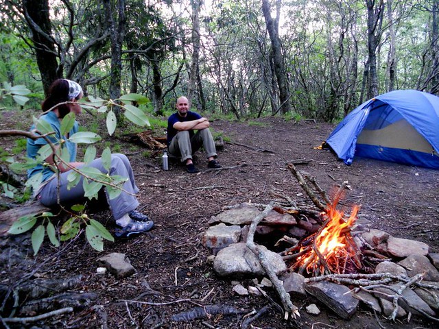
Pisgah is one of those places that can really run you through the ringer. If you ride here long enough, the forest will get the best of you on at least one occasion. A trail you ride and love one weekend will kick your ass the next. Sometimes you cuss the trails and seriously hate them, but at the same time you always love them, and it's that sick sort of masochism that keeps us coming back time and again.

Saturday's ride was one that ran me through the ringer. I had still never ridden Turkey Pen, so that was the plan. I got up with the sun, got dinner going in the crockpot, and headed out. I started from my usual spot on 477, and headed up Clawhammer. I could already tell that I really wasn't feeling it, but it was a beautiful morning, so up and up I went.

IMG_1223

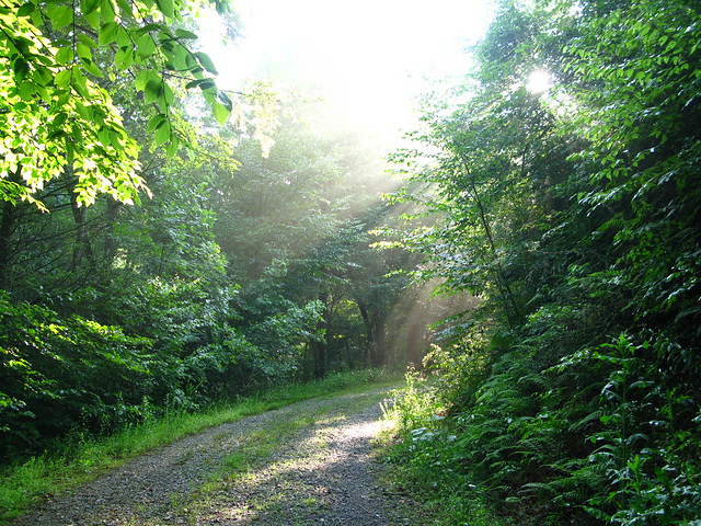
I slowly and steadily pedaled my way up Maxwell, and hung a left on Black at Pressley Gap. I rode the bottom part, but then it turned into a nice, steep hike-a-bike.

IMG_1224

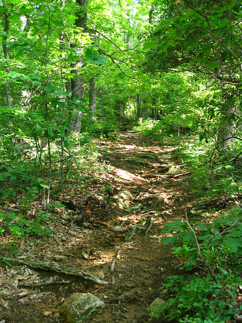
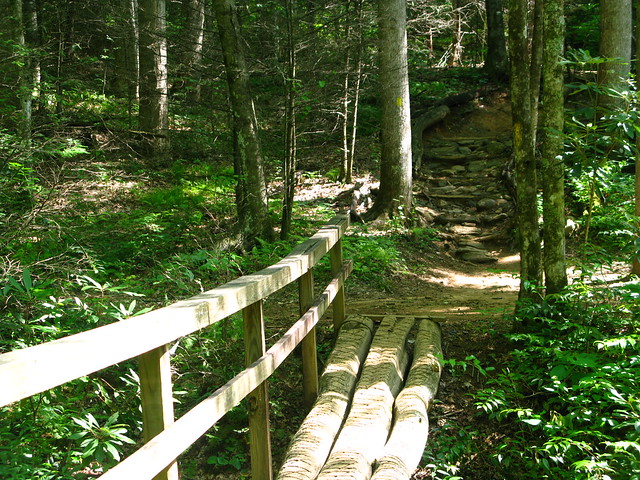
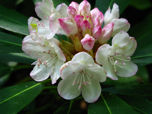
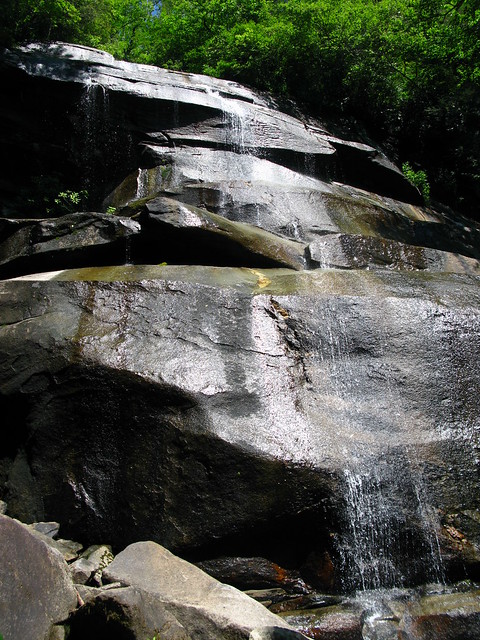
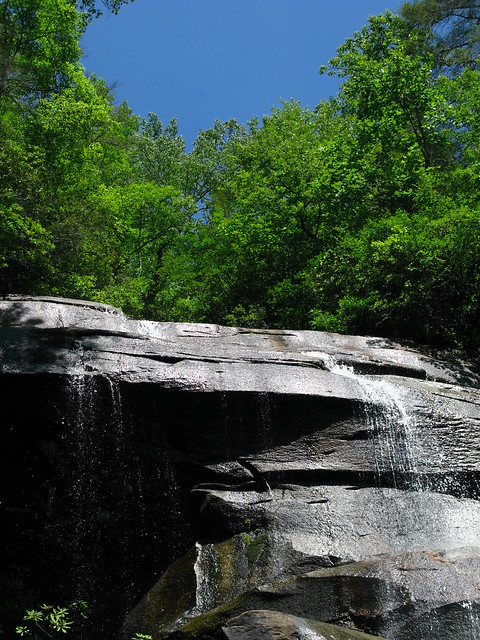
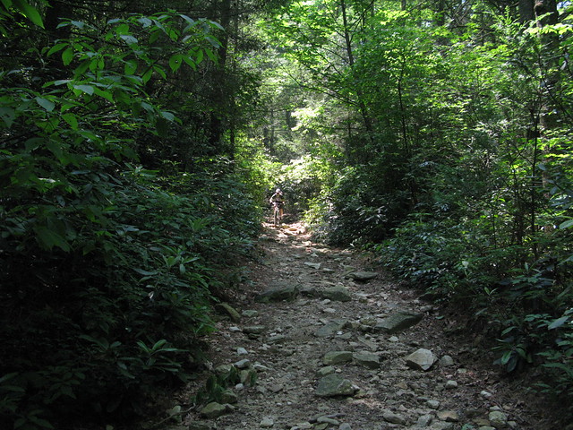
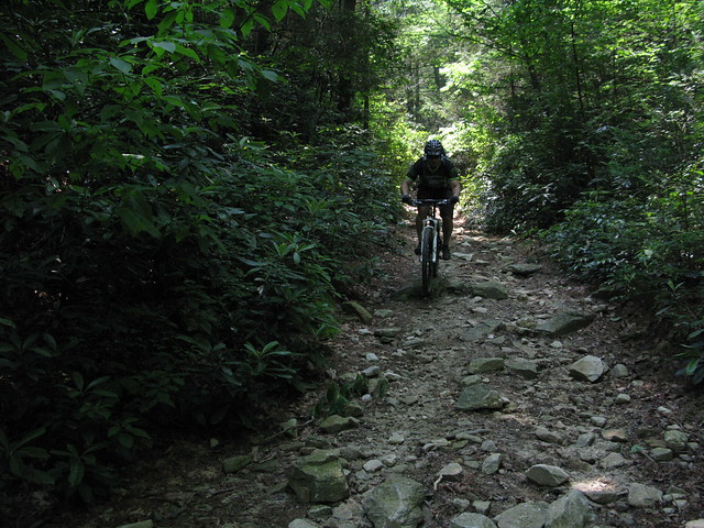
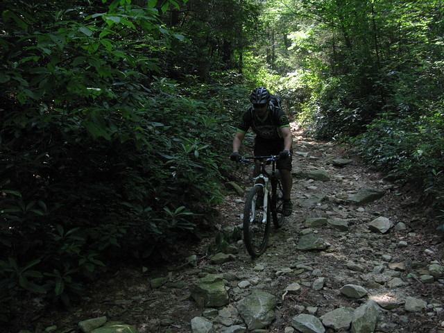
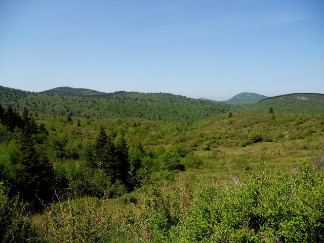
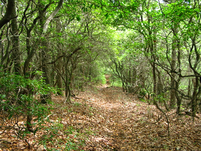
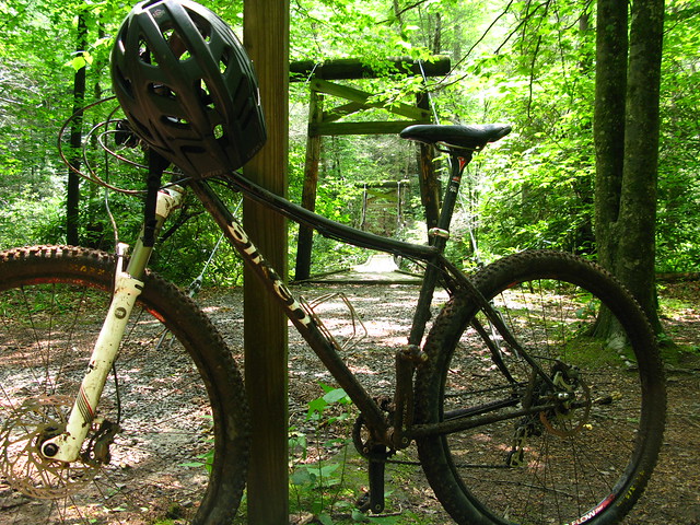
I made it to the intersection with Turkey Pen, and headed into the unknown. At first this trail was ok, and the hardest part about it was seeing the obstacles in the trail through the overgrowth. There were even some nice rhodo tunnels along the way.

IMG_1225

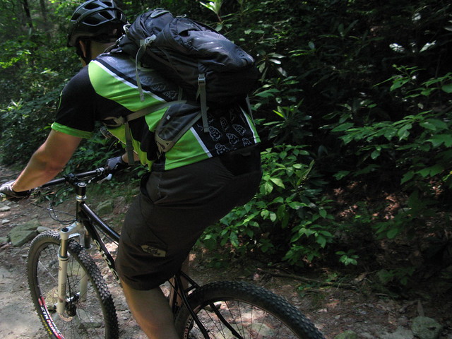
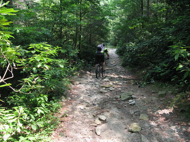
Maybe I need to ride it more, but shortly after the above pic, Turkey Pen turned into my least favorite ride in Pisgah. The trail basically went straight up, and straight down. While the downhills were long and sometimes fun, there were sections that were just too steep and slick to ride, and the uphills were the same, you know, except the other way around. Lots of hiking on this trail, and by the time I hit the TP parking lot, I was already pretty tired.

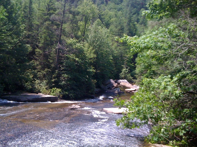
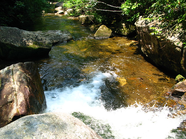
I headed down to S. Mills River and refilled my water. It was a hot and humid day. I wanted to head up Mullinax (another trail I haven't ridden), and then ride Squirrel (large sections I hadn't ridden), but I knew that route was going to have to wait for another day. The new plan was going to be S. Mills, Cantrell, Horse Cove, and then Squirrel. As I started down S. Mills, Pisgah opened another can of whoop-ass in the form of the first thunderstorm of the day. The Lazer Cat and I took cover under a bunch of rhodos along the side of the trail, and waited it out.

IMG_1226

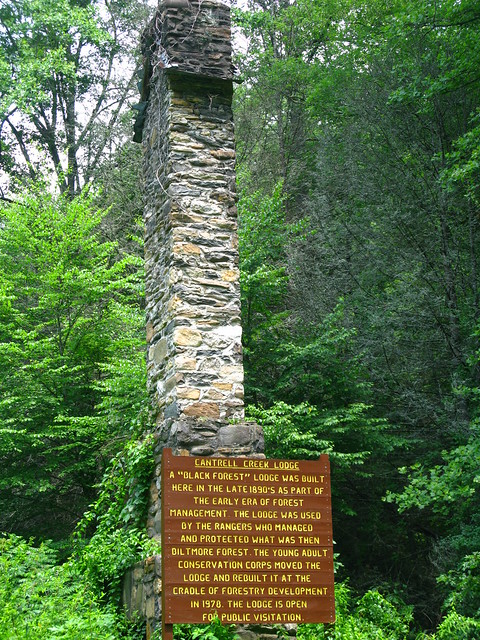
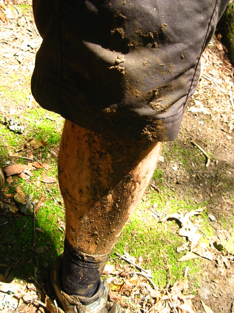
Once the rain and thunder lightened up enough, I continued on to Cantrell, where I took a spill on the wet, slick rocks. When I hit Horse Cove, I knew I'd be in for a hike, and boy was I. It wouldn't have been that bad, but along came the second thunderstorm. The soil on this trail is red clay that is already mucked up from all of the horse use, and after the rain, there were sections I wasn't sure I'd be able to hike up.

I finally made it up to Squirrel, and I knew the hiking for the day was over. Squirrel was fun and slick and the roots almost slid me off the trail a few times, but I made it down to the river crossing with no real injuries, but lots of mud. Most of it was from one particularly deep puddle on Squirrel.

IMG_1228

IMG_1229

I then headed up S. Mills, which was pretty chopped up from horse use. This trail is also really sandy, and the wet sand just stuck to my tires, making them much heavier than normal. I hung a left at Buckhorn Gap, and cruised down Clawhammer to finish out the ride. The final mileage was 30ish, but it felt more like 60. It was just one of those rides.

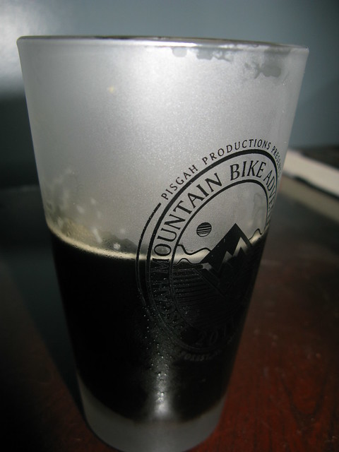
Luckily, when I got home there were some icy cold recovery drinks waiting for me. The Highlands Oatmeal Porter works like a charm every time. And a few hours later I inhaled some crockpot turkey "carnitas."

IMG_1233

Sunday, June 5, 2011

DuPont Weekend

I had a great weekend riding in DuPont. Saturday, I determined I had just enough new skin on my heels, so I went out on my own to get a harder ride in. I parked at Lake Imaging, and something was going on there. There was a big tent being erected, and some official-looking people stopped me to tell me where to park. Apparently, they're filming part of The Hunger Games here this week, and that lot will be home base. I headed out on my usual Briery and Back loop from this lot, and I was feeling good. I climbed all of the newly armored section of Jim Branch for the first time. After flying down Locust, I popped back out onto Lake Imaging Rd and hung a left as usual. As I descended down the gravel, I noticed that Grassy Creek Falls trail was open for the first time since I moved here. Since that was the only waterfall I hadn't seen in DuPont yet, I of course had to stop.

Only had my iPhone for pics that day.
Grassy Creek Falls

I also noticed a new trail to the right, immediately after I turned onto Grassy Creek Falls. I headed up this nameless trail, and it was obvious that this was brand spankin' new. It was still very soft, but pretty fun. It popped out onto Lake Imaging Rd., right by where I came out of Locust, branching off from the Hilltop Loop. I'll definitely be taking that instead of the gravel.

I continued on, climbing more of Oak Tree than ever before, up to Joanna Rd., and down to Twin Oaks, which was in perfect shape. I was really working on my body position, especially on the downhills, and I was carving down this trail better than ever. I hung a right on Briery Fork, and did the same with that downhill. This trail has two creek crossings, both with steep, technical climbs immediately after, and I've never been able to make it up either of them before. Today, however, I cleaned both climbs. Needless to say, I was very happy with that ride.

Sunday was another great ride at DuPont with Heather. We did the same loop as last time, but instead of going to Wintergreen Falls, we crossed the creek and got some photos coming down Grassy Creek Trail. This is a long, steep, rocky, and loose trail that is a blast. Part of the reason I love this trail is that it is never the same. Horse riders use this trail a lot, and the rocks are never in the same place. I only rode the bottom third of it, but Heather got some pretty good sequence shots. I made an animated .gif file, but it was too big for flickr. Meh.

IMG_1203

IMG_1209

IMG_1210

IMG_1212

IMG_1215

Heather did great on the ride. Her fitness was much better, and she rode with a lot more confidence. She'll be flying down Black Mtn. with me in no time.

One last shot.

IMG_1221

Wednesday, June 1, 2011

Memorial Day Backpacking

Some of our friends from law school came down from Kentucky over Memorial Day weekend to do some backpacking. The original plan was to hit Pisgah, and hike and camp for two nights. They left the route up to me, being a local and all, but of course I put it off until the last minute and really just picked a general area for us to hit. They asked for an all downhill route with nothing but pretty waterfalls along the way, and I told them no problem, happy to oblige. Well obviously, things didn't work out quite as planned, as is par for the course in Pisgah.

Everyone made it down here fine, and we headed into the forest after a nice breakfast on Saturday morning. We stopped for the obligatory photo ops at Looking Glass falls, and then headed up to the BRP. We took in the views and parked at the end of 816, unloaded, and headed down Flat Laurel Creek. All was well until we hit 215, and then the Mountains to Sea Trail. I really liked this trail, but it was definitely pretty rugged, and it took a toll on our feet. I had been getting hot spots on my heels, and used moleskin, but it was getting worse and worse. I had worn these boots many times before, and had concerns that they would give me blisters, because I just didn't feel like they were the right boots for my feet. Well, my concerns came to fruition, and my heels were on fire. Heather's boots were getting to her, too. On top of that, one of my friends twisted his ankle. We were in pretty sorry shape, so we headed back down to Flat Laurel via Little Sam, where we knew there were plenty of camping spots.

We unloaded, and I took off my boots, and about two layers of heel skin came off with my socks. I knew the backpacking portion of my weekend was pretty much over at that point. [Un]Luckily, the rest of the group was in a similar situation. We set up camp, lit a fire that lasted the short time that the small amount of dry wood we could find lasted, ate dinner, drank some bourbon, and hit the rack. It was great to sleep in the woods again.

The next morning, we packed up and gingerly hiked (hobbled) the 1.5 or so miles back to the lot. We headed back to the house, got cleaned up, and then went downtown to check out the White Squirrel Festival for a bit, before chowing down at Cielito Lindo. Even though things didn't go as planned, it was still a great weekend. I was proud of Heather and happy to hear that she wanted to backpack again. We desperately need to find some boots that work for us, though. On a side note, we have his and hers Asolos for sale.

Pics:

249420_651851014821_164001761_34174145_2539527_n

254331_651851294261_164001761_34174156_1332963_n

246752_651851543761_164001761_34174164_37107_n

IMG_1191

254808_651851853141_164001761_34174174_4137002_n

IMG_1192

253965_651852067711_164001761_34174181_7219992_n

247500_651852441961_164001761_34174193_4675792_n

249464_651852806231_164001761_34174205_4034368_n

253800_651852876091_164001761_34174208_6146369_n

252610_651852945951_164001761_34174210_3296154_n

253137_651853100641_164001761_34174215_542165_n